Grove Street Flood Levels
What are they?
The Grove Street area of Bath suffered from recurrent flooding of the
River Avon into the middle of the twentieth century. Three flood marks
record the height of the flood in 1823.
Frank Greenhalgh
was appointed Engineer to the River Avon (Bristol) Catchment Board in
1953 and he started to tackle the problem systematically. Another
disastrous flood in 1960 increased the urgency and over the ten year
period 1963-1972 the river was dredged, banks were raised and
reinforced by sheet-piling.
Pulteney Weir
was redesigned and new sluice gates were installed.
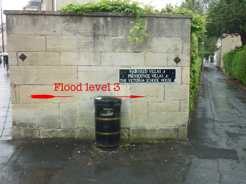
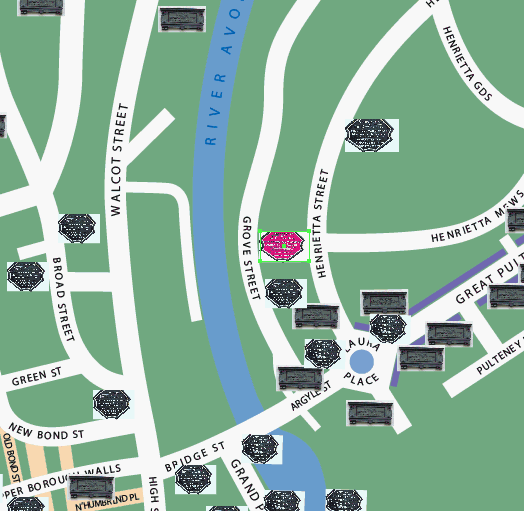
Where are they in Bath?
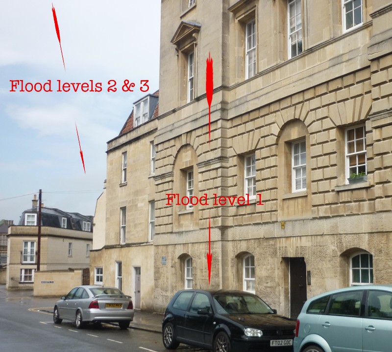
The three marks are located thus:
(1) On the wall of the New Prison in Grove Street;
(2) On the wall of the Victoria School House, situated on the footpath
linking Grove Street to Henrietta Street;
(3) On the wall at the point where the footpath joins Henrietta Street.
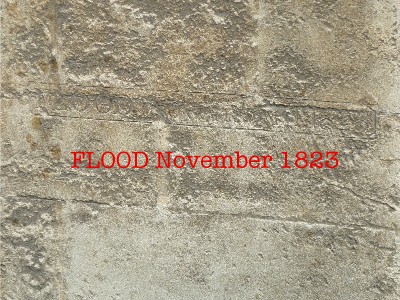
Flood Mark 1: New Prison, Grove Street
This flood level contains the text: "FLOOD November 1823" carved into
the stone.
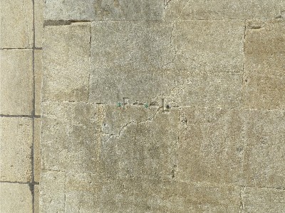
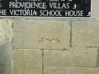
Flood mark 2: Victoria School House
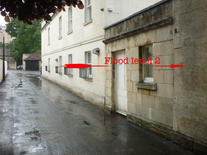
Here the mark consists of the engraved letters 'F' and 'L' with
dashes indicating the actual flood level:
Flood mark 3: Henrietta Street
 Again, the mark consists of the
letters 'F' and 'L' with two dashes indicating the exact level:
Again, the mark consists of the
letters 'F' and 'L' with two dashes indicating the exact level:
Location map of Grove Street flood levels:
Other flood level marks are found on Norfolk Buildings and the Widcombe footbridge butress.
(c) 2012
Bath-Heritage.co.uk | Contact us|