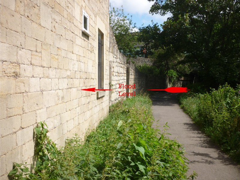
Norfolk Buildings Flood Level
What is it?
Thw central area of Bath suffered from recurrent flooding of the
River Avon into the middle of the twentieth century. The heights of
these floods have been recorded by marks carved on the walls of
buildings that were affected by the floods. The mark on the end of
Norfolk Buildings is one example. Others are found in
Grove Street and on the
Widcombe footbridge butress.
Frank Greenhalgh
was appointed Engineer to the River Avon (Bristol) Catchment Board in
1953 and he started to tackle the problem systematically. Another
disastrous flood in 1960 increased the urgency and over the ten year
period 1963-1972 the river was dredged, banks were raised and
reinforced by sheet-piling.
Pulteney Weir
was redesigned and new sluice gates were installed.
Where are they in Bath?
The flood level is on basement-level end of Norfolk Buildings adjacent
to the river towpath, just downstream of the bridge that used to give
trains access to Green Park station, but is now a road bridge serving
the Sainsbury supermarket car park.
Flood Mark: River path at end of Norfolk Buildings
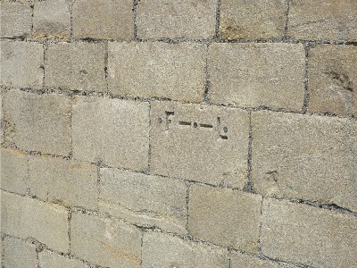
This flood level contains the letters 'F' and 'L' carved into
the stone.
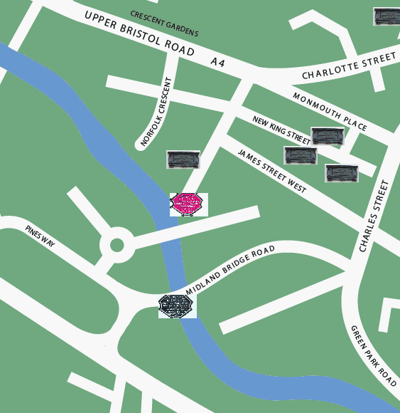
Location map of Norfolk Buildings flood level:
(c) 2012
Bath-Heritage.co.uk | Contact us|