William Smith at Tucking Mill
Who was he?
Wikipedia:
William Smith was an English geologist, credited with creating the
first nationwide geological map.
Why was he in Bath?
William Smith visited his supporters at no. 29, Great Pulteney
Street (see separate page
here).
He worked on the Somerset coalfield and the Somerset Coal Canal.
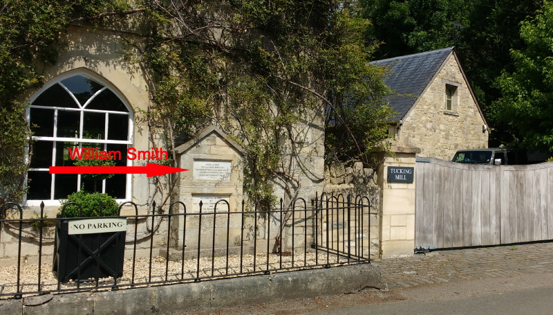
There is a plaque on
Tucking Mill Cottage saying that it
was Smith's home, which was erected in 1888, on the mill which was
demolished in 1927, and the tablet was mislaid. When the plaque
was rediscovered in the 1930s the Geological Society of London and
the Bath Royal Literary and Scientific Institution placed it on
the 18th century cottage.
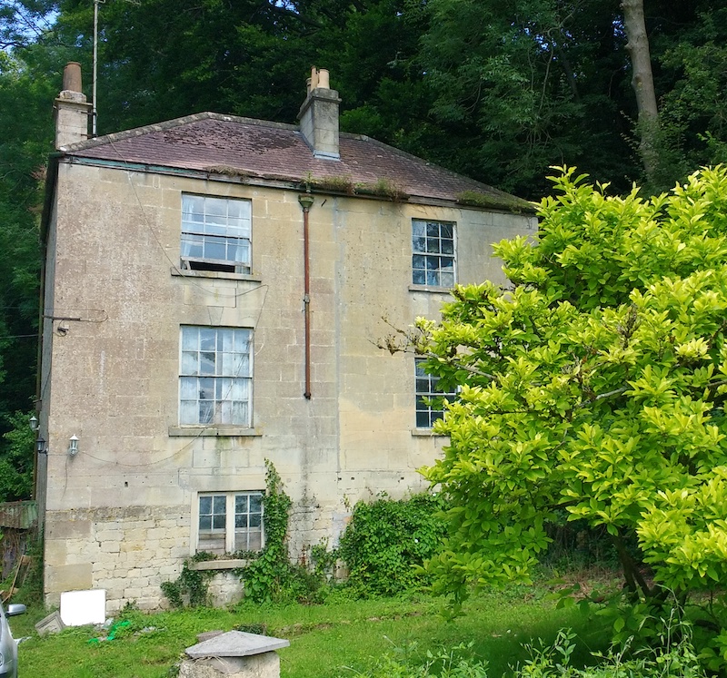
However, it is now believed that he actually lived in the nearby
Tucking
Mill House (see image below).
There is a column of stones commemorating William Smith's work on
the nearby path that follows the track bed of the disused Somerset
and Dorset Joint Railway (see separate page
here).
Location of plaque on Tucking Mill Cottage:


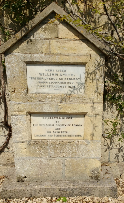
The text reads
Here lived William Smith
“Father of English Geology”
Born 23rd March 1761
Died 28th August 1839
Re-erected in 1932
by
The Geological Society of London
and
the Bath Royal Literary and Scientific Institution
Tucking Mill House is about one hundred metres to the east:

Location map of Tucking Mill:
(c) 2021
Bath-Heritage.co.uk | Contact us|


